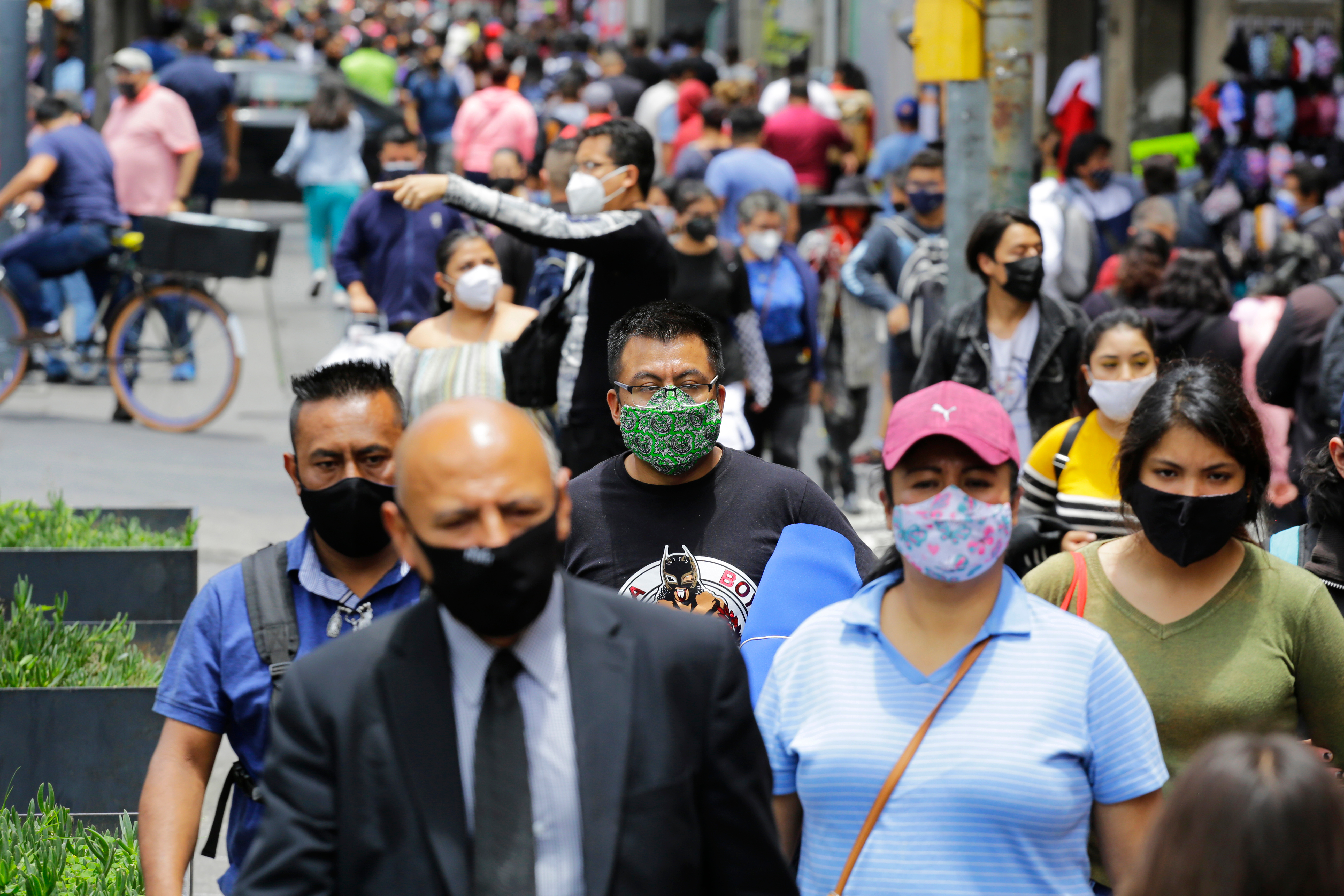
Naqoura: a town the world keeps erasing | | A peace-keeping troop in Naqoura, Lebanon. Image: Shutterstock | As entire neighbourhoods are flattened in southern Lebanon, the border town of Naqoura becomes the latest place where history, geography and war collide | | | On Sunday 6 April 2026, footage released by the Israeli military showed what looked like a controlled demolition exercise. Row by row, residential blocks in the southern Lebanese coastal town of Naqoura shuddered, then collapsed in clouds of grey and white dust.
For the third consecutive day, Israeli bulldozers had been at work flattening entire neighbourhoods. The owners of those homes had already been forced to leave. The town, which sits almost exactly on the 1923 Paulet-Newcombe Line, the border drawn by British and French colonial powers between Lebanon and Mandatory Palestine, is being unmade in real time. Lebanon finds itself on the frontline of the war in Iran, and is likely to be the place where a ceasefire holds or breaks down. It’s border towns, like Naqoura, that carry the heaviest weight of that uncertainty, places that have already been carved up by colonial cartography once, and are now being erased again.
Situated on a rocky promontory where the Levantine coast meets the Lebanese-Israeli frontier, it is the westernmost anchor of the border that stretches from Ras al-Naqoura in the Mediterranean to the eastern hills above the Jordan Valley. The 1923 commission that fixed this line did so largely without consulting the Arab populations on either side. Between 30 and 40 Lebanese villages were absorbed into Mandatory Palestine in the process.
The village itself, recorded in Ottoman surveys of the 1870s and 1880s as a stone-built settlement of around 400 inhabitants with olive groves, palms, fig trees, and abundant springs, persisted through empire, mandate, civil war, and repeated invasion.
Since 23 March 1978, Naqoura has been best known internationally as the headquarters of the United Nations Interim Force in Lebanon (UNIFIL). The force was created in the immediate aftermath of Israel's Operation Litani, its first major ground invasion of southern Lebanon, when UN Security Council resolutions 425 and 426 demanded an Israeli withdrawal and the restoration of Lebanese sovereignty in the south.
Lebanese diplomats fought specifically for UNIFIL's headquarters to be placed in Naqoura, fearing that without an international presence on the coastal frontier, Israel would permanently absorb the border strip. It was, from the very beginning, a calculated act of geographical claim-staking.
That fear has proved prophetic. UNIFIL's near five-decade presence has done much to protect civilians in surrounding villages, yet it has also served as an uncomfortable witness to successive cycles of destruction, never quite empowered to stop them.
| | Naqoura has been the home of the UN's Interim Force in Lebanon since 1978. Image: Shutterstock | The erasure of Naqoura
The current destruction of Naqoura is really a continuation of a long standing erasure. When a ceasefire between Israel and Hezbollah came into effect on 27 November 2024, residents of Naqoura hoped to come home. Instead, they watched from afar as Israeli forces continued their demolition of the village. By the time Israeli troops withdrew on 6 January 2025, the municipal council president, Abbas Awada, said Naqoura was 'almost entirely destroyed'.
A visit by Al Jazeera in February 2025 found 'nearly every home lay in ruin'. At Naqoura Intermediate Public School, Human Rights Watch investigators documented a classroom vandalism campaign: laptops smashed, projectors shot, blackboards covered with graffiti, dated to after the ceasefire. An Amnesty International report published in August 2025 placed Naqoura within a broader pattern of destruction involving more than 10,000 structures across southern Lebanon, concluding that the scale of damage occurred 'without apparent imperative military necessity', the threshold required under International Humanitarian Law.
While the threats and attacks on Lebanon never fully went away, it was dragged back into full war on 2 March 2026, when Hezbollah launched rockets at Israel in response to the US-Israeli strike that killed Iran's Supreme Leader. Israeli forces launched a new ground invasion, pushing into southern Lebanese territory and bombing bridges over the Litani River to sever the south from the rest of the country. Naqoura became, once more, a frontline.
By early April, Israeli forces were conducting large-scale detonations across the town for three consecutive days. In parallel, Israeli Defence Minister Israel Katz stated publicly that all homes in Lebanese villages adjacent to the border would be demolished, explicitly comparing the strategy to what Israel had done in Rafah and Beit Hanoun in Gaza. Plans were reported for a permanent 'security zone' extending three to eight kilometres inside Lebanon, with residents to be permanently barred from returning. Effectively as applying Gaza's yellow line logic to Lebanon, creating a depopulated military buffer which, as in Gaza, would gradually be entrenched as a de facto new border.
Geographic reorganisation
By April 2026, more than one million Lebanese had been displaced since the start of the new war. More than 136,000 people were sheltering in collective spaces; schools, stadiums, streets. What is unfolding in southern Lebanon follows a recognisable template: a contested border territory is cleared of its civilian population through a combination of bombardment and deliberate structural demolition, with the stated justification of security but the practical effect of territorial reorganisation. The 1923 line that made Naqoura a border town was itself drawn by external powers over the heads of local communities. A century later, the town finds itself again in the crosshairs of forces far larger than itself, and the springs and olive groves recorded by the Ottoman surveys are being buried, again, by a new arrangement of power on the map. | | Subscribe to Geographical's print magazine | | Our Front Lines newsletter brings you the stories shaping our world – a sharp, curated view from the desks of journalists.
Our print magazine goes further. It delivers a breadth of on-the-ground reporting – from the Arctic to the world’s most overlooked regions – crafted by writers and photographers who spend time where it matters.
When you choose print, you help make that work possible. You support independent journalism that goes further, digs deeper and asks bigger questions.
That kind of reporting only exists with readers like you. Choose print and join a community of curious minds today. | | | NUMBER CRUNCH: 1.33 milliseconds. That's how much each day has lengthened between 2000 and 2020 due to climate-related factors such as sea level changes. Such a rise, researchers say, is unparalleled across the last 3.6 million years. |
|
|